|
Comparative Archaeology Database, University of Pittsburgh
|
|
La Herrera Settlement Dataset |
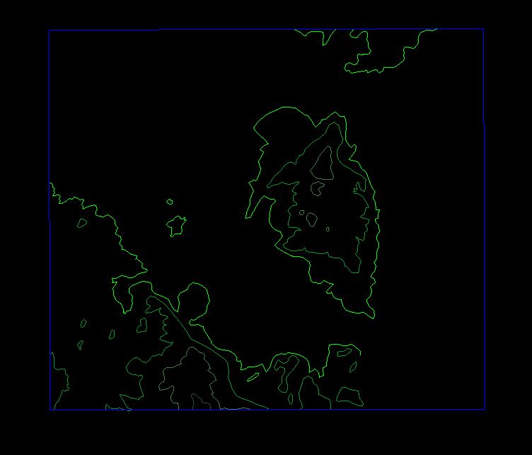
Elevation contour lines for the study area are provided as an AutoCAD (Release 12) .DXF file named TOPO.DXF.
The layers in this drawing, their colors, and the information contained on each are as follows:
Low-resolution preview |
Download the file TOPO.DXF (125 KB). |