|
Comparative Archaeology Database, University of Pittsburgh
|
|
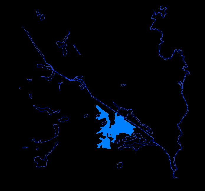
La Herrera Settlement Dataset |
The location of streams and lake La Herrera are provided as an AutoCAD (Release 12) .DXF file named HYDRO.DXF.
The layers in this drawing, their colors, and the information contained on each are as follows:
Low-resolution preview |
Download the file HYDRO.DXF (485 KB). |